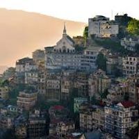
Mizoram is sprawled across 21,087 sq kilometres and shares a border with Bangladesh to the west and Myanmar to the east and south. Given that it has an international boundary of 722 kilometers, the state’s location is of great strategic importance.
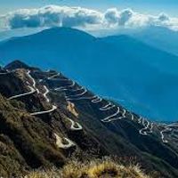
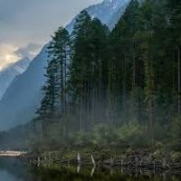
It boasts about 21 hill ranges with an average height of 1,200 metres above sea level. The highest mountain in Mizoram is Phawngpui or Blue Mountain which reaches a height of 2,360 metres above sea level.
These hills are interspersed with valleys and 16 major rivers. River Tlawng with a length of 185.15 kilometres is the longest river in the state.
— Before entering Mizoram, what to know?Had an amazing experience with Explore 7 Sisters Tourism! Everything from hotel booking to sightseeing was perfectly managed. Highly recommended for Northeast trips.


Our Meghalaya and Assam tour was beautifully planned. The team was very supportive and responsive throughout the journey. Truly a memorable trip

Great service and affordable packages! They helped us with permits and guided us properly in Mizoram. Will definitely travel with them again.


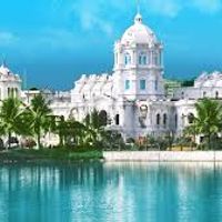
Top attractions include Ujjayanta Palace, Neermahal, and Unakoti.
Tripura is known for its palaces, temples, and historical rock carvings.
No permit is required for most areas, but restricted areas like Nathula Pass need special permission.
Sikkim is famous for its snow-capped mountains, monasteries, and clean environment.
Top places include Tawang, Ziro Valley, and Sela Pass.
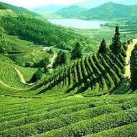
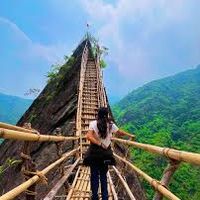
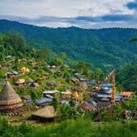
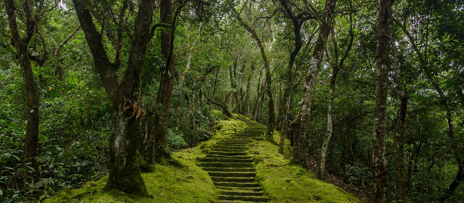
Mizoram is famous for its lush green hills, waterfalls, peaceful environment, and tribal culture.